
Holtingerveld is a beautiful Natura 2000 site in Drenthe, located between the villages of Havelte, Uffelte, Wittelte, and Wapserveen. Although it is not officially a national park, it ranks among the most impressive natural areas in the province. Together with Dwingelderveld National Park and Drents-Friese Wold National Park, it forms a valuable landscape of nature and cultural heritage.
When hiking through Holtingerveld, you’ll encounter ancient dolmens, burial mounds, and an impressive glacial ridge formed about 150,000 years ago during the Ice Age. The area is also renowned for its rich variety of plants. Experts say that few places in Drenthe have such a high number of plant species per square kilometer.
Hiking in Holtingerveld offers a unique mix of nature, history, and culture.

An easy way to explore the area is via the Node Network.
I started my hike at the Holtingerveld Access Gate, close to the campsite in Wapse. Since I also wanted to visit the Papiliorama Butterfly Paradise, I chose a shorter route. Whether you opt for a short or long trail, hiking in Holtingerveld is always rewarding.
The Papiliorama Butterfly Paradise, located near Holtingerveld, opened in 1998. With an area of 900 m², it is one of the largest butterfly houses in Europe. Inside, countless exotic butterflies flutter among flowers and tropical plants in stunning colors.
The greenhouse maintains a warm, humid climate and also houses caterpillars and other insects. There are even plans to expand with an insectarium and a large ant nest.
The building itself could use some maintenance – the doors and windows are not particularly inviting – but the beauty of the butterflies and plants makes up for it. Each butterfly species has its own habitat and preferred nectar plants, making you feel like you’ve stepped into a tropical paradise.
Extra tip: there are no pins or thimbles in the souvenir shop, but the experience itself is a wonderful memory!


Back at the Access Gate, you’ll find an information center, a brasserie, a children’s playground, and the starting point for multiple hiking routes. I started at Node Networkpoint 25.
Holtingerveld Sheepfold
Behind the information center are the buildings of the sheepfold. Here, a flock of sheep can be seen leaving around 9:30 a.m. and returning around 4:30 p.m. in summer. Between these times, the sheep graze in the heathlands. Information boards indicate the current location of the flock.



During the hike, I passed two of Drenthe’s most famous dolmens: D53 and D54.
Hunebed D53 has witnessed a lot over years. In 1942, the Germans transformed the Holtingerveld into a military airfield. The path that now runs alongside the hunebeds once served as a taxiway. To make this possible, hunebed D53 had to be removed. It was dismantled and buried a little further away. Hunebed D54 was covered with sand to camouflage it. The Germans considered this location a landmark, which is why the sites had to be made invisible. After the war, D54 was excavated and D53 was reconstructed.
At nearly 18 meters long, D53 is one of the largest dolmens in Drenthe. You can see it from a distance.

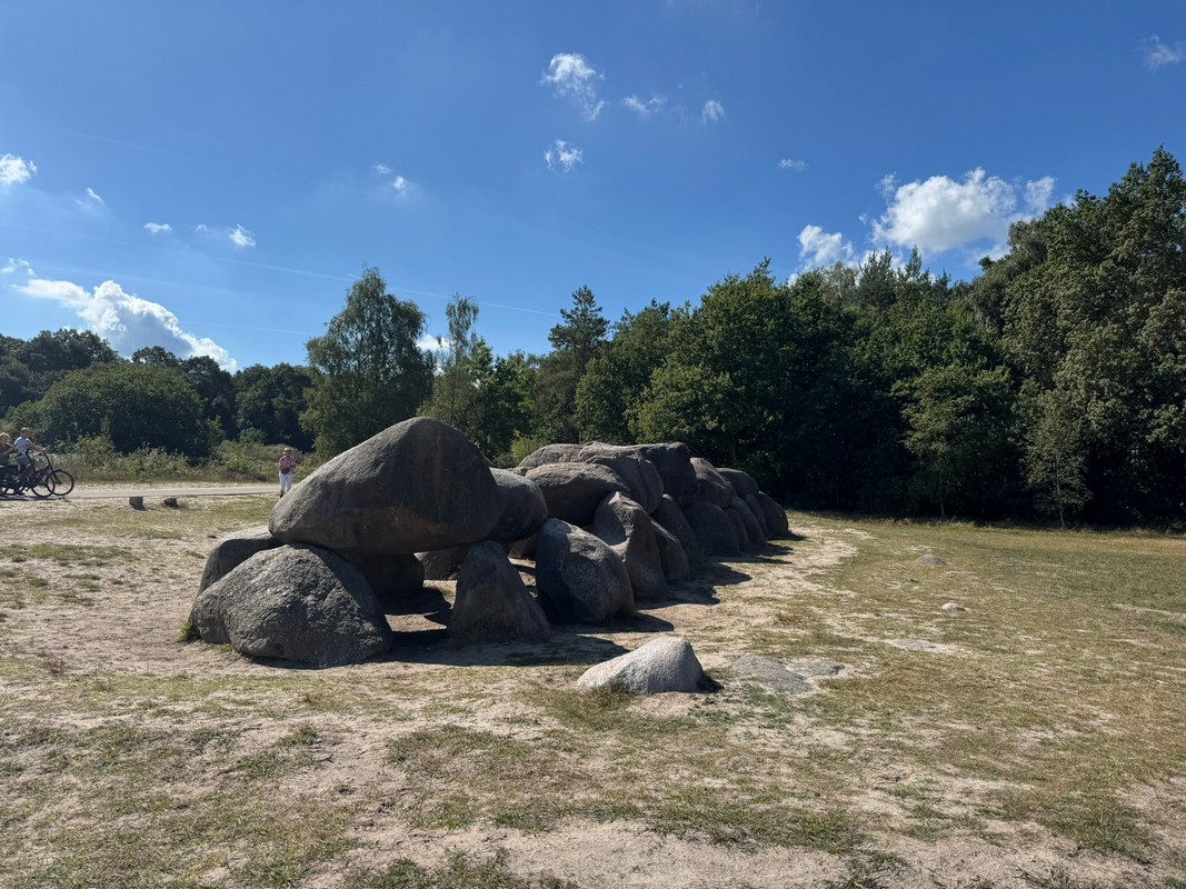


Directly opposite is D54, about half the size of D53. Together, they are known as the twin dolmens. Both are over 5,000 years old and are important prehistoric monuments.
Important: climbing or scrambling on the dolmens is not allowed. They are protected monuments and deserve respect.
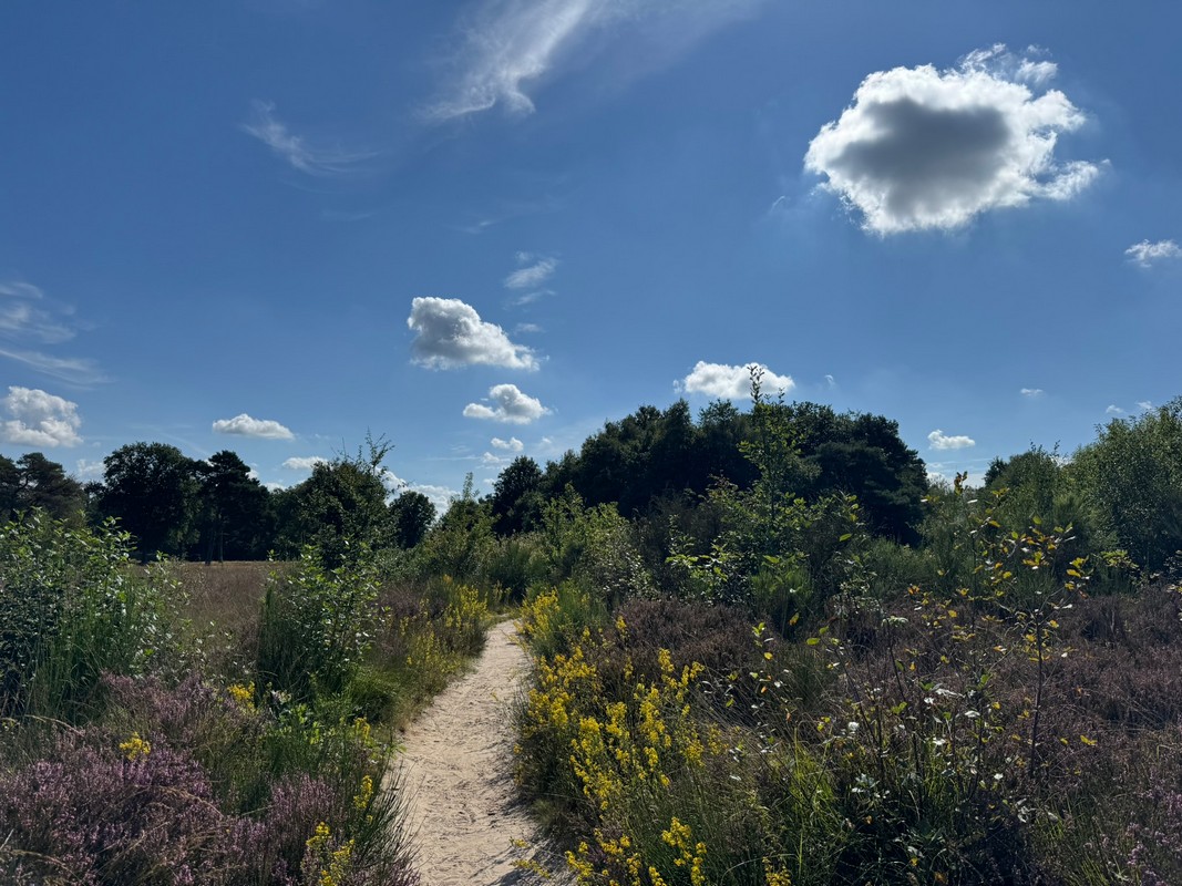
Holtingerveld offers numerous scenic spots: blooming heath, sandy plains, and historic monuments. Since my route was short, I had plenty of time to capture photos of my hiking pins along the way.

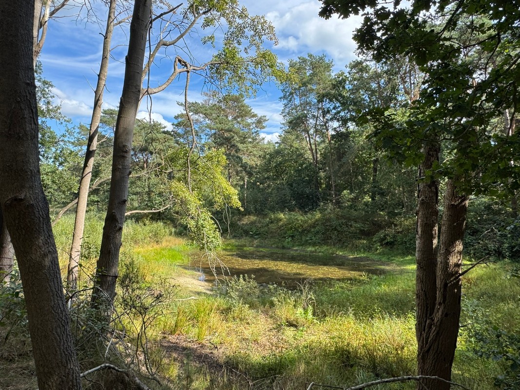
Halfway through the hike, I reached the Finnish Lake (Finse Meertje). From the trail, it looked like there were several small ponds, but on the map, it is actually one large lake. The water level was low, but the ducks enjoyed it thoroughly.
Next, the trail led over sandy plains. Walking on loose sand is always a bit challenging, but there were enough well-trodden paths to make it easier.
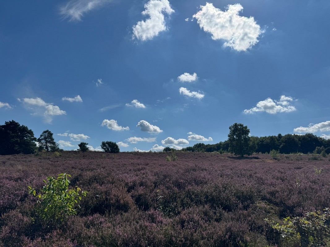

The final part of the route was on a paved bike path. Not as scenic as the narrow sandy trails, but very practical, especially for less mobile hikers or cyclists.
I ended the day with a drink on the terrace at the Access Gate – a perfect conclusion to a varied and beautiful hike.


The Holtingerveld nature reserve offers a unique combination of nature, history, and culture. From ancient dolmens and burial mounds to colorful butterflies and heathlands, it is a place not to be missed.
Whether you choose a short junction route or take your time exploring, hiking in Holtingerveld is a varied and memorable experience. Anyone wanting to discover Drenthe in a special way should definitely visit this area.

Our Photos
We take photos with our iPhone, mirrorless camera, or compact camera.
We don’t edit our experience photos with colors or filters; all the colors you see are exactly as we observed them.
A Walking Pin
Would you like a pin as a souvenir? You can click here.
Other Hikes
If you’d like to read more about our hikes, check out our overview page.